
Start:
Lookout Cafe, Rhossili
Destination:
Lookout Cafe, Rhossili
Distance:
4.5 miles (7km)
Walk Length:
2.5 hours
Walk Difficulty:
2 (Moderate)
Parking:
Pay and Display National Trust Car Park at Rhossili.
C0nsiderations:
Always exercise caution when crossing roads and navigating steep paths.
**Points of Interest:**
- **Birds:** Stonechat, Linnet, Wheatear, Meadow Pipit, Skylark, Buzzard, Kestrel
- **Plantlife:** Milkwort, Violet, Gorse, Tormentil, Marsh Lousewort, Heather, Bilberry,
Cotton Grass
Start at the car park by The Lookout Café in Rhossili. Walk through the village towards Rhossili Church.
At the bus-turning area on the left, go behind the house and climb steps into the churchyard.
The church is dedicated to St. Mary the Virgin and likely dates back to the 13th century. Inside, you’ll find a memorial to Petty Officer Edgar Evans, who died with Captain Scott at the South Pole.
Leave the churchyard through the other gate and continue on the main road, following the right-hand bend.
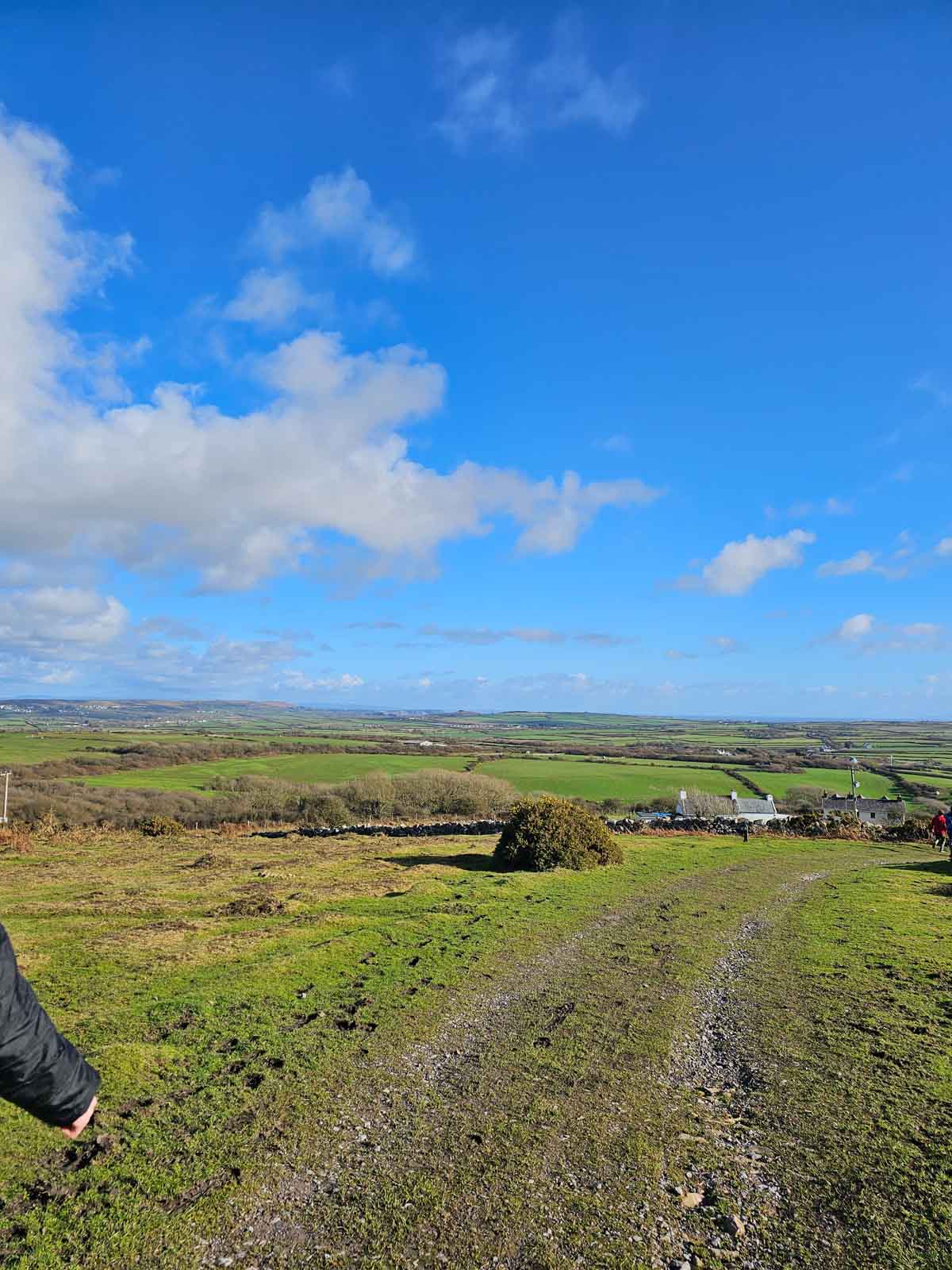
Walk along the road, passing houses on the left and enjoying views over the fields to Worms Head.
Rhossili merges into Middleton after 400 meters.
Take the lane on the left between the telephone box and Middleton Hall, heading uphill.
Pass the Rhossili Outdoor Pursuits Centre (the old village school) and cross a cattle grid to reach Rhossili Down (National Trust).
A plaque on a house on the right indicates Petty Officer Evans’ birthplace.
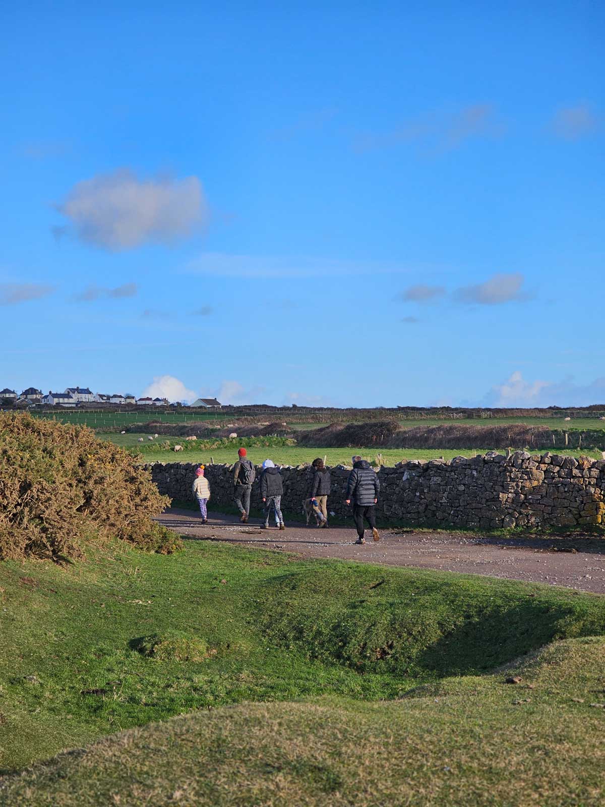
Continue ahead on the track along the lower edge of the Down, passing a ruin on the right.
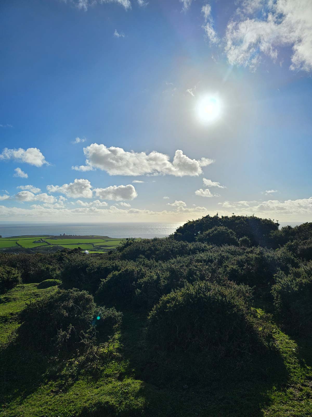
Enjoy views extending to Hardings Down, Llangennith, the Loughor Estuary, Pembrey, the Bristol Channel, and Devon.
Near the bottom of the track, turn left before the gate and cross a narrow ditch onto the moor.
Follow the rough path between the telegraph poles and the fence, crossing small streams. The path is drier nearer the fence.
Continue to the gate at Sluxton Farm.
Turn left at the gate and follow the tractor tracks uphill. Turn right at the bracken line and follow the path to a small summit col.
Take a detour down to the right to visit the two Neolithic tombs known as the Sweyne Howes, which are over 4,000 years old.
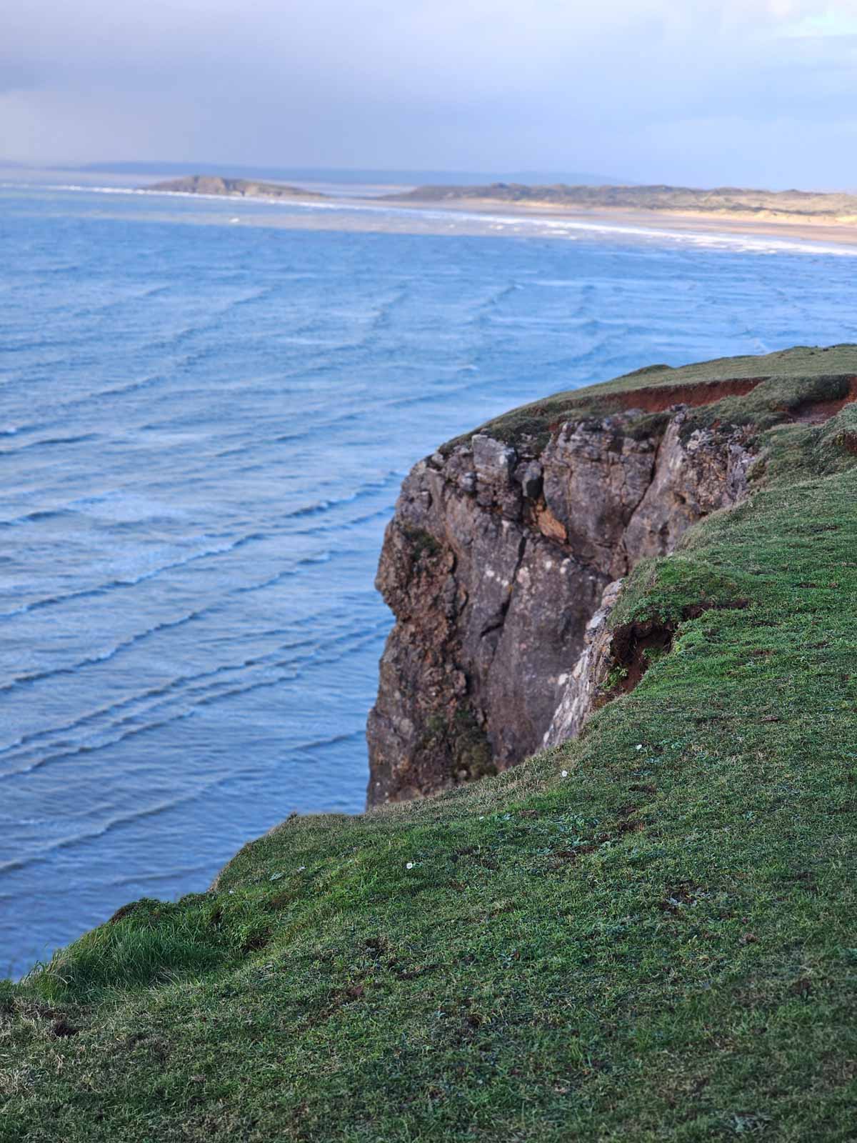
Climb up to the summit path, with views across Rhossili Bay to Worm’s Head. Pass remains of a wartime radar station.
Follow the path south along the top of Rhossili Down, passing two Bronze Age cairns on the left. Take the right-hand path leading up to The Beacon (Trig. Point at 193 meters).
Continue ahead, descending to Rhossili. If conditions are right, you might see hang gliders.
At low tide, you can see the ribs of the “Helvetia” shipwrecked in 1887. Beyond the village, the medieval strip field system known as ‘The Vile’ is visible.
At the base of the slope, go through the gate and up the track. Turn right to take the path that passes to the right of the churchyard wall.
Emerge onto the road and return to The Lookout Café.
 gowerunearthed@gmail.com